
Fort Myers ZIP Coverage Guide
Fort Myers postal geography reaches north, east, and south of the municipality. The working table below describes broad service areas, not legal boundaries. USPS remains the source for delivery at one address, while Lee GIS decides whether that place lies in Fort Myers or unincorporated Lee County. Station details and assignments can change, so verify them before relying on a search.
| ZIP | Areas Covered | Postal Anchor | Boundary Note |
|---|---|---|---|
| 33901 | Central Fort Myers, Downtown, River District | Downtown Fort Myers | Central city anchor |
| 33902 | Fort Myers mail and boxes | Downtown box operation | Non-geographic use |
| 33903 | North Fort Myers | North Fort Myers area | Outside the city |
| 33905 | East Fort Myers, Tice, Buckingham corridors | Tice area | Substantial unincorporated land |
| 33906 | Fort Myers boxes | Page Field | Verify non-geographic use |
| 33907 | South-central Fort Myers, Villas | Fort Myers area | City and county mix |
| 33908 | South Fort Myers, Iona, island approach | South Fort Myers area | Largely unincorporated |
| 33911 | Fort Myers boxes | Fort Myers area | Non-geographic use |
| 33912 | Daniels Parkway, Six Mile Cypress | South/east area | Mostly unincorporated |
| 33913 | Gateway, airport, east Daniels | Jetport processing area | City, county, and special uses |
| 33916 | Dunbar, east-central Fort Myers | Fort Myers area | Core and boundary edge |
| 33917 | North Fort Myers, Bayshore | North Fort Myers area | Not the city |
| 33919 | McGregor, Cypress Lake, southwest area | Fort Myers area | City and county portions |
| 33965 | Florida Gulf Coast University | FGCU | Unique institutional code outside city |
| 33966 | Metro and Six Mile Cypress | Fort Myers area | City-edge and county mix |
| 33967 | San Carlos Park, FGCU vicinity | Fort Myers mailing area | Unincorporated |
| 33994 | Organization-specific Fort Myers mail | Addressee-specific | Verify through USPS |
This ZIP code directory deliberately avoids claiming that every code belongs to Fort Myers city. No official source reviewed supplied a complete neighborhood boundary table. Use the entries as a first filter and confirm each address.
Fort Myers ZIP Limits Differ
USPS city names route mail. They do not incorporate land. Gateway, Iona, San Carlos Park, Six Mile Cypress, Daniels Parkway, and parts of the east and south mailing area can carry “Fort Myers” while remaining under Lee County jurisdiction. North Fort Myers sits across the Caloosahatchee and is unincorporated. Fort Myers Beach is a separate town.
The difference changes where to seek permits, code cases, planning files, and city services. First verify delivery through USPS. Next, open Lee County GIS or the city/county boundary layer. Only then choose the Fort Myers City Clerk, city Community Development, or the county custodian. Annexation can change the government keeper without changing the preferred mailing city.
Geography check. A Fort Myers ZIP code identifies a mail route, not proof that an address or resident is inside the city.
Verify Fort Myers Postal Codes
The USPS ZIP Code Lookup can list codes by city and state, but its Find by Address mode is stronger for one home or business. The captured official screen shows the current starting point.
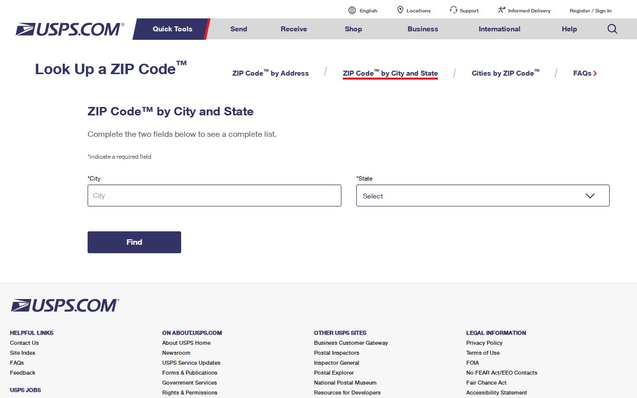
Use a complete street address and unit when known. A city-and-state result can return broad postal choices, while address verification resolves the delivery code assigned to that location.
For past post offices, the USPS Postmaster Finder organizes office history by ZIP.
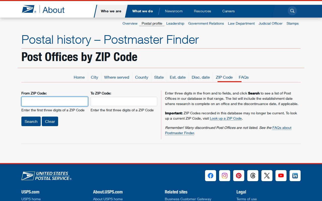
That historical tool can establish an office and its dates. It does not replace the current address lookup or draw a modern postal boundary.
Find Fort Myers Residents by ZIP
A ZIP narrows a large result set, but it should lead to a parcel, street, or verified name. Lee Property Appraiser forms are the most useful official starting point. Real-property search exposes Postal Code and lets the user switch between Site Info and Owner Info. Tangible-property search exposes Street Number, Street Name, and ZIP Code for business personal property.
- Verify the exact code with USPS Find by Address when a street address is known.
- Select Site Info in the Property Appraiser when the goal is parcels physically located in that postal area.
- Review the returned site addresses and save the STRAP or Folio for each relevant parcel.
- Open GIS to verify municipality and districts, then narrow to a street or parcel.
- Use a lawful elections data request only when voter information is necessary and protected fields can be removed.
Once the ZIP search reaches a named road, the Fort Myers street directory gives the address-level workflow. Do not estimate “residents in ZIP” by adding parcel owners. Owners are not a household roll, and PO-box codes have no residential block.
Fort Myers Site Versus Owner ZIP
The Property Appraiser's Site Info and Owner Info switch changes the meaning of the same Postal Code field. Site Info groups land by the parcel's physical, E911-maintained address. Owner Info groups tax owners by the address where assessment mail is sent. That owner mailing address may be in another city or state.
| Field or Control | Meaning | Best Use | Caution |
|---|---|---|---|
| Postal Code with Site Info | Parcel location ZIP | Find land in one mail area | Still verify city limits |
| Postal Code with Owner Info | Tax mailing ZIP | Group owner mailing geography | Does not place the owner at the parcel |
| Tangible ZIP Code | Business personal-property location filter | Find taxable business assets | Not a resident list |
| STRAP | Seventeen-digit parcel ID | Carry a parcel into GIS and records | Not a ZIP |
| Folio | Eight-digit account ID | Open an appraisal account | Not a postal code |
Document which switch was active and the date of the result. Otherwise a ZIP-wide export can silently mix parcel locations with owner mail destinations. A homestead exemption may support owner occupancy, but it still does not name every person at the address.
Fort Myers Box ZIP Records
Codes 33902, 33906, and 33911 require different treatment from ordinary street-delivery areas. They are associated with post-office box or non-geographic use, so a search should not plot them as residential neighborhoods. Government agencies often use 33902 mail addresses, which explains why the code appears in Lee Clerk request instructions without defining a city block.
The Downtown Fort Myers Post Office at 1350 Monroe Street uses 33901-9998, offers General Delivery and PO boxes, and lists weekday retail hours from 8:30 a.m. to 5 p.m. Box access is available around the clock. USPS materials also associate Page Field at 2655 North Airport Road with 33906. Verify a box assignment for the actual addressee because operational use may change.
Fort Myers Unique ZIP Cautions
Codes 33965 and 33994 do not behave like normal neighborhoods. The first is associated with Florida Gulf Coast University, and the second is an organization-specific Fort Myers code that requires addressee verification. FGCU lies outside Fort Myers municipal limits even though its postal identity can include Fort Myers. This is the clearest local warning against turning postal wording into city residence.
Campus records, county permits, city records, and delivery addresses answer different questions. Search the institution's official directory or archives for public institutional roles, GIS for jurisdiction, and USPS for mail. Never infer that people linked to the institution share its unique ZIP as a home address.
Fort Myers ZIP Directory Terms
Postal terms are easy to confuse with land and census geography. Keep these labels exact when saving a result or asking a custodian for a record.
- ZIP versus ZIP+4
- A five-digit ZIP routes mail to a broad area; the added four digits narrow delivery within it.
- PO-box ZIP
- A code used for box mail rather than a mapped residential delivery area.
- Unique ZIP
- A code assigned to one organization or institution with enough mail volume.
- Carrier route
- A postal delivery path within a ZIP, not a city ward or parcel boundary.
- Situs address
- The parcel's physical E911 location, distinct from the tax owner's mailing address.
A recorded legal description is another system. It identifies land by subdivision, lot, block, or metes and bounds. A postal correction does not rewrite the deed, and a new municipal boundary does not always change the ZIP.
Map Fort Myers ZIP Regions
Central codes 33901 and 33916 are strong city anchors. Eastward, 33905 reaches Tice and Buckingham geography. South and southeast, 33908, 33912, 33913, and 33967 include large unincorporated areas with a Fort Myers mailing identity. Codes 33903 and 33917 describe North Fort Myers rather than the municipality. The 33919 and 33966 areas mix city-edge and county locations.
These patterns reflect rapid growth across the Lee County urban area, not fixed neighborhood walls. The county's official area ZIP map supplies broad visual context, but a live address must still pass through USPS and GIS. The map cannot show who lives at a parcel. Voter, property, deed, and directory records each have their own dates and privacy limits.
Trace Old Fort Myers Addresses
A present ZIP may not help with an old address. Use the 1926 Sanborn sheets, Polk street sections, recorded plats, and the deed's legal description to bridge earlier labels. Dr. Martin Luther King Jr. Boulevard has an Anderson Avenue history, but the inspected official sources did not establish the renaming ordinance or year. Preserve that fact as an unresolved research point rather than assigning a date.
For each property, keep three identifiers together: current situs address, STRAP or Folio, and deed legal description. The set survives most mailing ambiguity and address changes. Then use USPS for current delivery, GIS for jurisdiction, the Appraiser for E911 situs, and the recorded deed or plat for land identity.