
Walk a Fort Myers Street
Begin with one normalized address in the Lee County Property Appraiser database. A site, or situs, address is the physical E911 location. It differs from the owner address used for tax mail. The parcel result supplies a STRAP, Folio, legal description, tax owner, deed citation, building facts, exemptions, and sales rows. These identifiers keep the work tied to land if a street label changes.
Each source has one job. The appraiser bridges address to parcel. GeoView supplies shape and context. The Clerk supplies recorded instruments. Voter data and old directories may add people, within firm legal and coverage limits.
- Search under Site Info and save the STRAP, Folio, and newest deed citation.
- Open GeoView, zoom to the segment, and select parcels in street order.
- Carry the instrument or book/page into the Clerk's Official Records search.
- Request voter data only with a clear lawful geography and field list.
- For past occupants, consult a dated Polk street section at the library.
The sequence separates a tax owner from a listed resident. A homestead exemption supports owner occupancy, but it does not name every household member.
Fort Myers Street Search Fields
The Lee Property Data Search accepts more than a house number. Start with few fields so format and spelling do not hide results. Site Info searches parcel location. Owner Info searches tax-mailing geography, which may be another state or country.
| Field | Street use | Note |
|---|---|---|
| STRAP | Return to one parcel | 17 digits |
| Folio | Open the account | Eight digits |
| Owner name | Confirm tax-roll name | Last name first |
| Street address | Find physical site | Select Site Info |
| Postal code | Narrow results | Meaning follows source choice |
| Instrument or book/page | Move to the deed | Recording tab |
| Street number/name/ZIP | Browse tangible assets | Not a household search |
Parcel cards can show zoning, use code, first tax-roll year, building features, values, prior parcel links, and transactions. The appraiser warns that “owner of record” may not be the fee-simple title holder. The deed controls title analysis.
Map Fort Myers Street Parcels
The official GeoView instructions explain search, layers, aerials, selection, measure, save, and print tools. Zoom until parcel lines show, then right-click or tap and hold a lot. Selections collect in a bottom table, up to 1,000. Each row can highlight the parcel and open its information control.
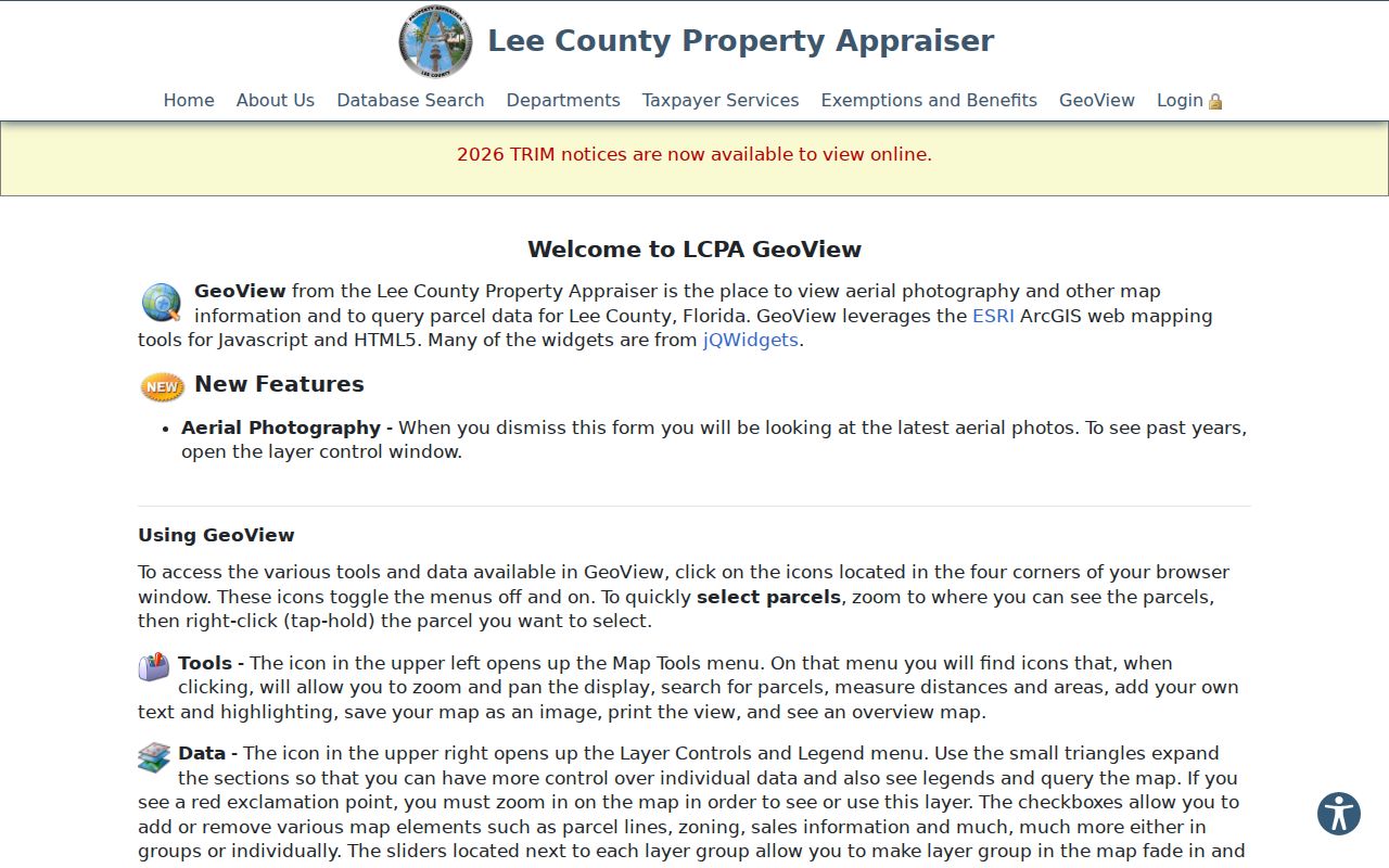
The newest aerial is the default, with prior years in Layer Control. Assessment boundaries are not a legal survey, and map owner data may lag the roll.
The Fort Myers GIS and addressing office handles city-assigned addresses.
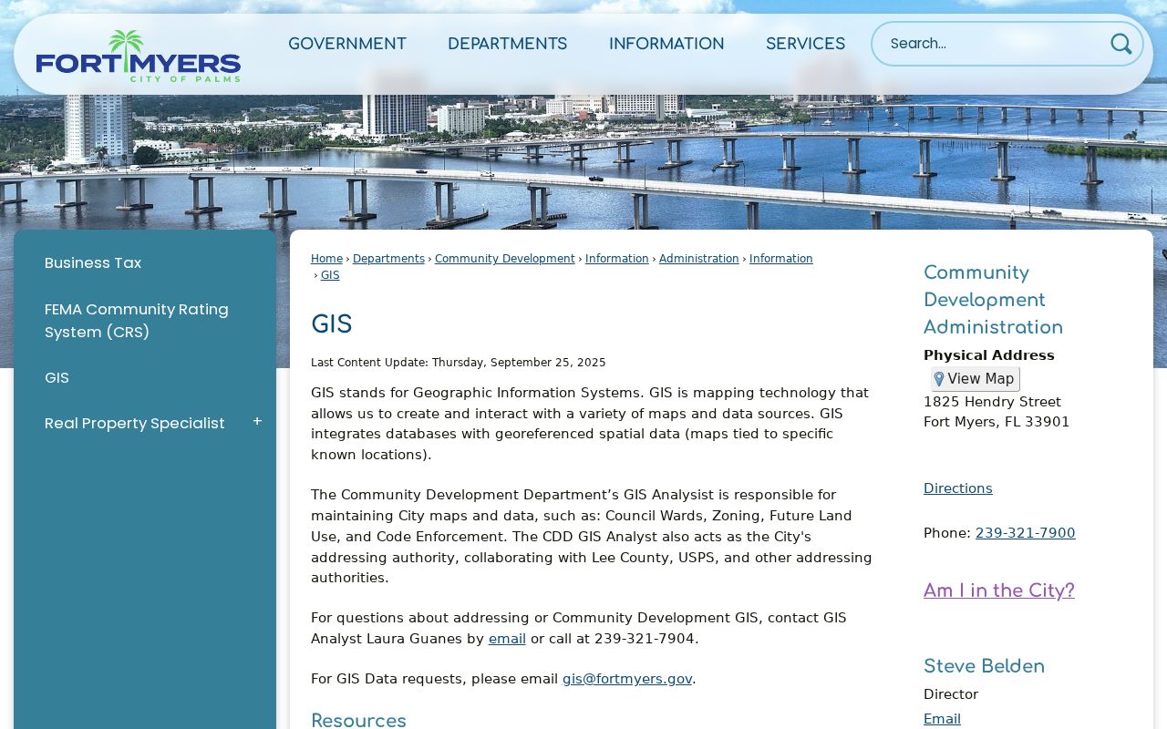
Its jurisdiction role matters because the postal city extends well past municipal lines.
Fort Myers Records by Street
No official street directory names all residents. Keep owners, occupants, applicants, contractors, and voters in separate columns, with a date and source for each.
| Record | Keeper | What it adds | Access |
|---|---|---|---|
| Property roll | Lee Property Appraiser | Owner, site/mail address, STRAP, structures | Portal or request |
| GIS | Lee GIS/Appraiser | Parcels, aerials, zoning, districts | Viewer, download, phone, email |
| Deeds/plats | Lee Clerk | Parties, legal land, title chain | Web, subscriber, kiosk, counter, mail |
| Permits/code | City or Lee DCD | Projects, inspections, cases | Portal or records request |
| Voter data | Supervisor of Elections | Nonexempt voter fields | Written request |
| Street guides | Libraries/archives | Dated occupants and businesses | Digital, terminal, film, desk |
| Census | NARA/library | Households through 1950 | Online or library |
The parcel number joins roll, map, deed, and permit evidence. For full treatment of printed runs, use the Fort Myers city directory collections.
Follow Fort Myers Deed Citations
Enter the parcel card's newest instrument or book/page in Landmark Official Records. A grantee receives the interest; a grantor transfers it. Copy the legal description, then seek the grantor as an earlier grantee. Repeat only when the lot, block, subdivision, or other land description matches.
Official Records reach Lee County's creation in 1887. Modes include Name, Document, Case Number, Book and Page, Consideration, Record Date, Clerk File Number, Legal, and Quick Search. Date searching begins at 01/01/2010 by default, so reset it for older work. Use surname plus first initial, then narrow by document type and date.
Older deed tip. Change the 2010 default start date before deciding that an older instrument is absent.
Some eligible images require the free Subscriber Service or the kiosk at 2115 Second Street, second floor. Copies are also available there or by mail to P.O. Box 2278, Attn: Land Records, Fort Myers, FL 33902. Assistance is 239-533-5007. A mail request should give the citation, indexed name, required identification details, payment, and a stamped return envelope.
Fort Myers Permits by Address
Permits date physical work, not a resident change. A file may show parcel, owner, applicant, contractor, project type, issue and final dates, inspections, scope, and value. Code records may show the cited owner, location, condition, order dates, and status. Hurricane repairs can create dense histories, so read the scope.
The Fort Myers electronic permit page documents Tyler EnerGov access.
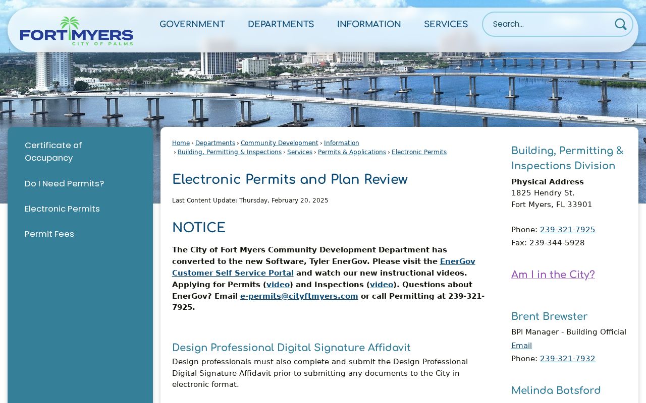
Use it only after confirming city jurisdiction. For county land, Lee Community Development records accepts NextRequest, DCDRecords@leegov.com, 239-533-8802, mail, or visits at 1500 Monroe Street.
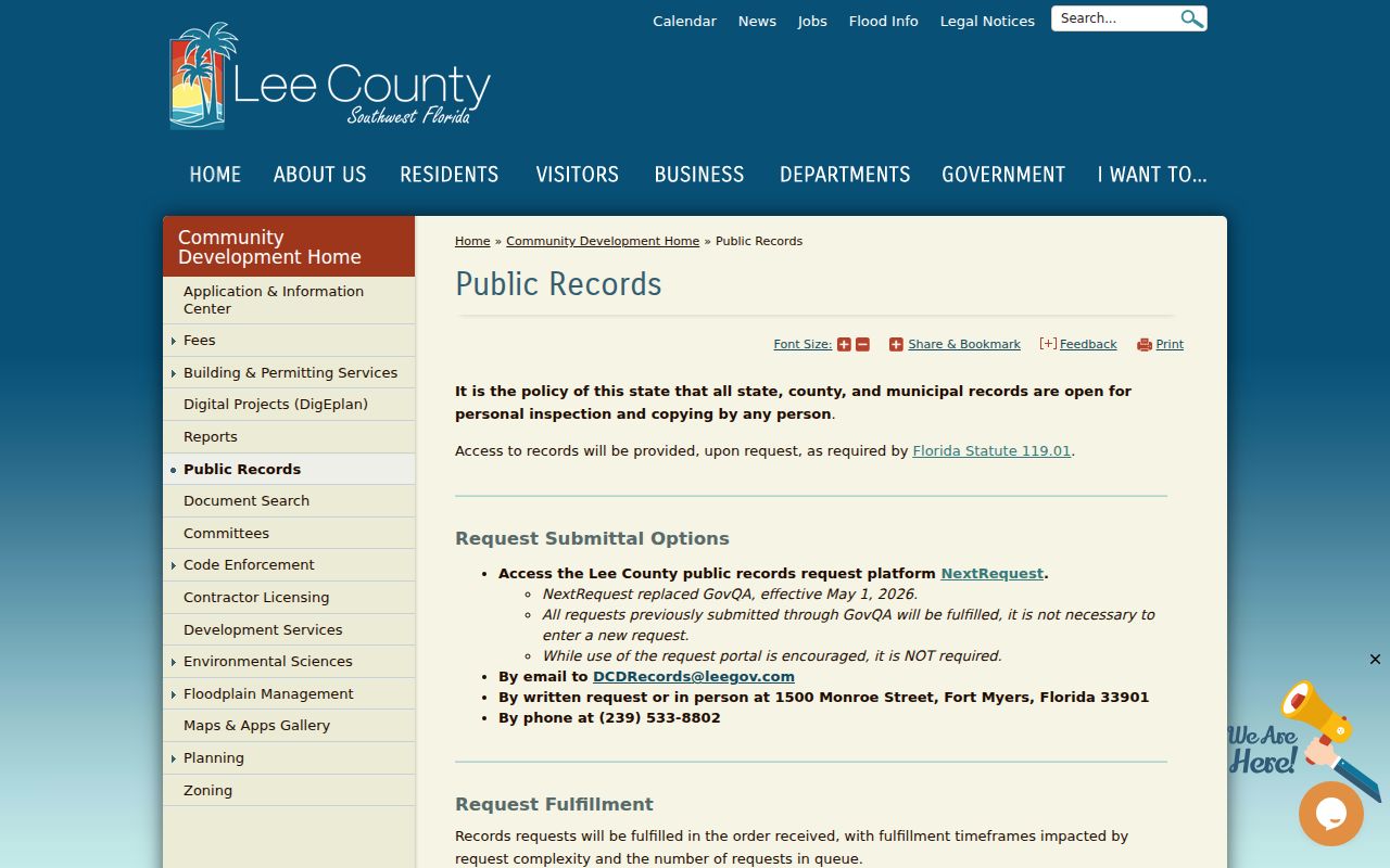
Requests are fulfilled in received order, and timing varies with scope and queue.
Fort Myers Voter Street Data
The self-lookup asks first name, last name, and date of birth. It cannot browse a street. A broader data product requires a request stating geography, date, fields, and format. Public fields can include name, residence or mailing address, party, registration date/status, precinct/district, and participation indicators. Ballot choices are never public.
Send requests to records@lee.vote, 239-533-8683, fax 239-533-6310, 2480 Thompson Street, third floor, or P.O. Box 2545, Fort Myers, FL 33902. Social Security and license numbers, signatures, and protected addresses are removed. A missing record may reflect an update, cancellation, spelling issue, ineligibility, or protection.
Read Historical Fort Myers Streets
A Polk street section reverses the name list: address leads to a listed person or business. The 1923–24 guide marks 127 vacant, then prints named entries nearby, including St. Luke's Episcopal Church at 152. It shows what one publisher listed, not everyone present.
- Parcel
- A mapped land unit identified by STRAP or Folio.
- Situs address
- The E911 physical location, not the owner's mailing address.
- Plat
- A recorded map of subdivision lots, blocks, streets, and easements.
- Criss-cross directory
- A volume arranged by street or phone number rather than only surname.
Dr. Martin Luther King Jr. Boulevard has an Anderson Avenue history, but reviewed sources did not fix an ordinance date. Use plats and legal descriptions instead of inventing one. The 1926 Sanborn atlas supplies 34 sheets of footprints, materials, uses, and old labels; directories and censuses supply names.
Verify Fort Myers Street Jurisdiction
The postal Fort Myers footprint includes Gateway, Iona, San Carlos Park, Six Mile Cypress, Daniels, and other unincorporated places. North Fort Myers is unincorporated across the river, while Fort Myers Beach is separate. Postal wording cannot choose a permit custodian.
Use USPS for delivery and current ZIP, GIS for city limits and districts, the appraiser for E911 site address, and deeds or plats for legal identity. Annexation may change services without changing the postal city. This check prevents requests from going to the wrong office.
Log Fort Myers Street Evidence
A simple street worksheet prevents the most common mix-ups. Give each parcel its own row. Record the current situs address, STRAP, Folio, legal description, roll date, tax owner, owner mailing city, newest deed citation, and the date the portal was checked. Add permit, voter, and directory findings in separate columns. Across-street land should be labeled as nearby rather than boundary-adjacent. Condominiums also need care because unit parcels and common elements do not behave like a row of detached lots.
Capture the source's wording instead of translating every name into “resident.” A deed has grantors and grantees. A permit has an applicant, owner, and contractor. A voter file has registrants after protected fields are removed. A Polk volume has listed occupants and firms. When two sources disagree, check their dates first. A deed may post after the tax roll snapshot, while a map label may trail both. Newly presented Clerk documents can also carry provisional “R” or “I” indexing before later verification as “V.” Recheck those entries before relying on spelling.
For a whole named road, work in short map segments and preserve a start and end point. This makes the street-by-street result repeatable and prevents skipped side lots. Save only facts needed for the research question. Precise notes are safer and more useful than republishing a broad roster.
Fort Myers Street Directory Limits
Property records omit renters, relatives, boarders, guests, and many seasonal occupants. A distant mailing address says nothing firm about who uses the site. Trusts and companies add more uncertainty. Utility and delivery files are not public resident rolls, and motor vehicle addresses are restricted.
Old directories omit unlisted people and contain gaps, short forms, and spelling errors. GIS can lag. Deeds prove conveyance, not occupancy. Permit parties may have no household tie. State each role and date: “tax owner on the dated roll,” “grantee in the deed,” or “listed occupant in the edition.”
Use records lawfully. Fort Myers address records support personal research; never use them to stalk, harass, threaten, or defeat a protected address.
Those careful labels make the street directory useful without turning incomplete public clues into claims about who lives there now.