
Fort Myers Neighbors by Source
Each official source answers one narrow question about a Fort Myers block. The Lee Property Appraiser GeoView defines spatial relationships. Parcel cards name tax owners and distinguish site from mailing addresses. A lawful voter-data request can return public registration fields with protected data removed. Permits and city records show activity tied to an address, not a household roster.
| Block source | Evidence about Fort Myers neighbors | How to reach it |
|---|---|---|
| GeoView and parcel cards | Adjacent parcels, tax owners, site and mailing geography | Free online viewer and property search |
| Voter-data request | Public voter fields within a defined lawful geography | Written request to Lee Elections; exemptions applied |
| Permits and code files | Projects or cases affecting nearby addresses | Portal or city/county custodian request |
| Historical criss-cross directory | Listed occupants or businesses in one edition | Library database, affiliate terminal, or reference help |
| Boards and neighborhood groups | Public officers, contacts, minutes, or issue participation | Published pages and public meeting records |
Tax ownership is not occupancy. A parcel can belong to a trust or an out-of-state owner. A homestead exemption may support owner occupancy, but it does not name every person inside. Voter registration is also dated and can be inactive, updated, or shielded. State each finding as a source-specific fact rather than merging the rows into a permanent resident list.
A useful block worksheet preserves the target parcel first, then records north, east, south, and west relationships or a clockwise sequence. Add the snapshot date because ownership, exemptions, permits, and registrations change. This small bit of method keeps a later reader from mistaking a convenient list for a current census of the block.
Click Around Fort Myers Parcels
GeoView opens with the latest aerial. Prior aerial years sit in Layer Control. Zoom until parcel lines appear, then right-click or tap and hold a polygon. Each selection enters a bottom table, and a row can highlight, zoom, and open parcel detail. The viewer supports up to 1,000 selections, but a block search should collect only the lots needed.
No official radius or buffer tool was documented. Select adjoining polygons one at a time, then label across-street lots separately because they look near but do not share a boundary. Condominiums and common elements need unit-level care. The map is assessment information, not a survey.
Map layers can add aerial context, zoning, floodways, commission districts, and special districts. Those facts explain the land and public services, not the identity of a household. Save or print a modest view that shows the parcel relationships, then open the linked property detail for each selected lot rather than copying a name from a map label alone.
- Parcel
- A mapped tract or account used for property assessment.
- Situs address
- The physical E911 site address, distinct from the owner's mailing address.
- STRAP
- Lee County's 17-digit parcel identifier.
- Adjacent
- A parcel sharing a boundary, not merely one visible nearby.
Map a Fort Myers Block
A clockwise walk produces a result another person can repeat. Start with one verified site address, center its parcel, and use the map geometry rather than a marketing radius. Save the map date and parcel identifiers before opening owner details.
- Search the target address or STRAP in GeoView and verify the physical site on the parcel card.
- Select each shared-boundary parcel, then the across-street parcels, in a fixed clockwise order.
- Record STRAP, situs, tax owner, relevant mailing city or state, exemption indicator, latest deed identifier, and snapshot date.
- Add permit, code, voter, and historical evidence in separate columns. Never turn those layers into one occupant field.
- For every lot along the named road, switch to the broader street workflow.
The Fort Myers street directory carries this method beyond the immediate block and follows the full address chain along a road.
Mailing-city and state fields are worth noting only when they explain an owner relationship. An out-of-state mailing address can show where a tax bill goes, but it says nothing firm about a renter or seasonal occupant. Keep the physical site field at the center of the block map.
Fort Myers Voter Block Requests
The personal lookup at the Lee County Supervisor of Elections requires identity fields and is not a browse-by-block tool. A broader data product must be requested from the elections custodian. Define the geography, data date, product, and format. Public fields can include name, residence or mailing address, party, status, registration date, precinct, districts, and voting-history participation, never ballot choices.
Requests can go to records@lee.vote, 239-533-8683, fax 239-533-6310, the third floor of 2480 Thompson Street, or P.O. Box 2545, Fort Myers, FL 33902. Charges depend on the selected product, media, and labor. Social Security numbers, driver-license or state-ID numbers, signature images, and qualifying protected addresses are removed under Florida law.
Note: A voter-data absence does not prove that nobody lives at an address; status, eligibility, timing, spelling, and protection can all explain it.
Fort Myers Community Directory Limits
Fort Myers boards and planning records can identify public appointees, meeting speakers, petitioners, or contacts tied to one issue. Planning material names areas such as Dunbar-Michigan, East Fort Myers, Eastwood Village, Westwood, Dr. Martin Luther King Jr. Boulevard, and Veronica S. Shoemaker Boulevard. Those labels give community context, not a verified member roll.
| Community source | Public use | Limit |
|---|---|---|
| City boards and minutes | Appointed members and recorded civic participation | One role or event does not prove current residence |
| Planning-area records | Named areas, plans, and public contacts | Verify boundaries with city or county GIS |
| Association public pages | Published officers or contact addresses | Private member lists remain private |
| Historical societies and archives | Photos, maps, oral history, and source leads | Check compiled claims against primary records |
No authoritative inventory was found that states directory status for every Fort Myers association. Ask a group for its public contact or joining rules, not for a private list. Watch, congregation, and association account records do not become public merely because the group serves a neighborhood.
The Fort Myers Regional Library, Southwest Florida Historical Society, local genealogy groups, and DigitalFGCU can add photographs, maps, oral histories, cemetery work, and neighborhood source leads. These collections are strongest for historical context. A compiled genealogy or caption should point back to a dated image, directory, public file, or other primary source before it is used as proof.
Fort Myers Postal Neighbors Differ
A Fort Myers mailing name does not settle city jurisdiction. Gateway, Iona, San Carlos Park, Six Mile Cypress and Daniels-area addresses can be in unincorporated Lee County. North Fort Myers is across the river and unincorporated, while Fort Myers Beach is a separate municipality. Check the parcel against municipal limits before seeking permits or code files.
This geography changes the custodian, not the shape of the block. City records apply inside Fort Myers. Lee County Community Development handles county-jurisdiction requests through its portal, email, phone, mail, or counter. Keep the situs address and STRAP with the request so a postal-city mismatch does not send it to the wrong office.
Permit and code files may show an owner, applicant, contractor, project, inspection, alleged condition, order, or compliance date. They show activity at a place. They do not prove that the named project party slept there, and active or exempt details can be redacted by the custodian.
Verify Fort Myers Neighbor Lists
Commercial neighbor products may blend assessor, marketing, and other feeds. Names can be stale, wrongly merged, or attached to a mailing address instead of the physical parcel. Official sources are narrower, but each offers a keeper, parcel identifier, date, and correction path.
| Method | Strength | Weakness |
|---|---|---|
| GeoView and property roll | Reproducible parcels and tax owners | Does not list all occupants |
| Lawful voter-data request | Official dated registration fields | Protected and nonregistered people absent |
| Commercial compilation | Convenient broad suggestions | Unknown refresh cycles and merged identities |
Use a compiled name only as a lead. Confirm it through the custodian that created the underlying record and do not treat a result as proof of a present household.
Vital Records Are Not Neighbor Rolls
Florida birth and death records do not provide a way to browse current Fort Myers neighbors. Births remain confidential until more than 125 years old unless the requester is authorized. Cause-of-death information is protected for 50 years and limited to eligible applicants, although a death certificate without cause is generally public.
The Florida birth certificate page shows the application, identification, and eligibility route.
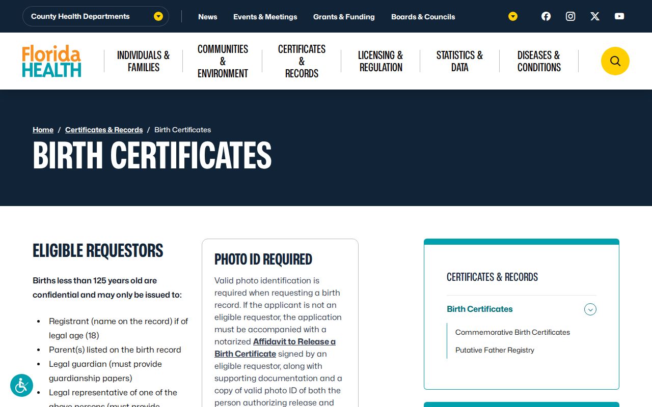
Its controlled process demonstrates why private family data cannot be substituted for a block directory.
The Florida death certificate page separates cause and no-cause access.
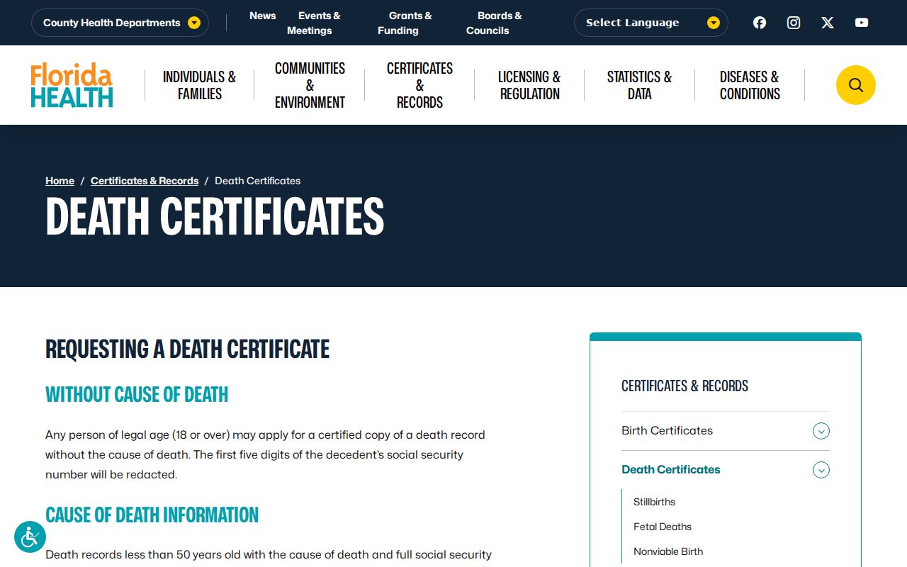
That distinction is a firm privacy boundary, even when a historic death record later helps explain an older block or family trail.
Protect Fort Myers Neighbors
Utility, customer, delivery, and driver-address data are not public neighborhood rolls. Florida also protects Social Security numbers, financial and medical details, victim data, and qualifying addresses. The Attorney General's Address Confidentiality Program gives eligible victims a substitute mailing address and mail forwarding. It does not erase every older record held elsewhere.
A person seeking a lawful redaction must use the custodian's process and cite the applicable exemption. Florida's broad access rule does not create a right to bypass a protected address. Narrow the search to the civic or property question at hand, retain only what is needed, and do not publish a private group roster.
Lawful use. Find Fort Myers neighbors for civic curiosity, reconnection, or personal safety awareness. Never use records to watch, harass, threaten, intimidate, or harm anyone.